
Mapping out Zamboanga
I encountered a multitude of questions and comments when I mentioned an upcoming trip to Zamboanga and the nearby City of Isabela in Basilan across the channel that separates them; mostly emphatic: “Why are you going?” “Is it safe?” “How exciting!”
It‘s likely some of these anxious comments were inspired by the damaging effects of a three-week episode in 2013 known as the Siege of Zamboanga, wherein Muslim rebels associated with the Moro National Liberation Front (MNLF), in a repeat violation of the peace in the city, attempted to establish an independent republic within the coastal communities of the city, battling with the Armed Forces of the Philippines. Despite this negative security image, I was curious to see for myself what Zamboanga City was like, noting its reputation as a culturally interesting spot alongside its somewhat cowboy qualities.
My recent visit to the area was done in the good company of the Philippine Map Collectors’ Society (PHIMCOS), of which I am a member, to attend the launch of an exhibition on Zamboanga history curated by a PHIMCOS trustee, Dr. Felice Noelle Rodriguez.
Most sources for the origin of the name “Zamboanga” seem to settle on the Spanish adaptation of the word samboangan, which is derived from a local term for a wooden pole used to moor boats in shallow waters.
Zamboanga is often referred to as a “crossroads” or melting pot of different cultures, which underlines its strategic role as a gateway to southern Philippines and beyond. It was already a trading port in the centuries before the country’s Spanish colonizers founded the city as a military outpost in 1635, recognizing its strategic location. With the advent of American colonization, Zamboanga City was briefly made the capital of the then newly-created Moro Province which included Sulu, Lanao, Cotabato, and Davao, becoming a center of economic and governmental activity under American military governors. Later on, the city was absorbed under the province of Zamboanga, specifically the Zamboanga Peninsula (Region 9) and has since developed further as an urban economic center in the south. It is widely known today, for example, for its sardine-processing facilities.
The population of the Zamboanga City is predominantly Christian. Several Indigenous Peoples—primarily Muslim though culturally apart from each other—make up about 30% of the rest of the population. Among them are the Subanen, said to be the earliest settlers in the area; the Tausug, Badjao, Yakan, and Sama. The Tausug and the Badjao in particular, often live on stilt houses prominent in coastal areas of the region.
The city’s unique, homegrown official language, Chavacano, perhaps encapsulates the unique history of the place as a melting pot of peoples. As I heard it being spoken in Zamboanga City, where it is most prevalent, I found it to have a gentle, lilting character, faintly understandable to anyone with a cursory knowledge of Spanish.
We were billeted at the huge yet comfortable Garden Orchid Hotel, located just five minutes away from the airport. Below is a rundown of some of the interesting sites we visited.
Fort pilar, part of the National Museum’s regional museum network
The most iconic spot in the city is Fort Pilar, whose beginnings date back to 1635 when its first cornerstone was laid by a Spanish Jesuit engineer. Built and rebuilt over the centuries, it has protected Zamboanga from marauding “Moro” pirates, British, Dutch, and Portuguese attacks.
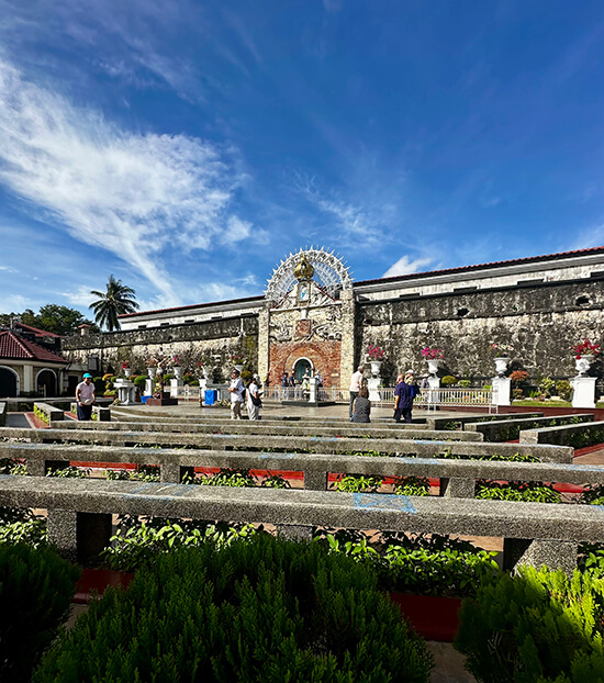
Today, the image of Nuestra Señora del Pilar (Our Lady of the Pillar), carved in stone and embedded on the outer stone wall of the fort at the apex of a decorative stone arch, is effectively an open-air shrine for the locals who hold her protection as the patroness of Zamboanga close to their hearts. Devotees can sit on rows of low concrete benches fronting the image.

Behind the outer eastern wall of the fort which houses the image is a large, peaceful quadrangle surrounded on all sides by a barracks-like structure. Fort Pilar is considered the largest regional museum of the National Museum network.
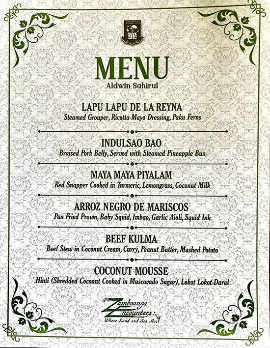
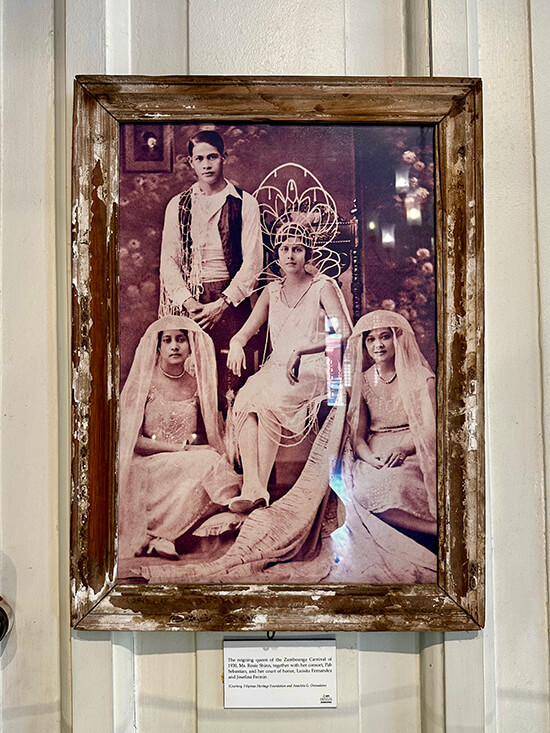
The exhibition curated by Dr. Felice Noelle Rodriguez, “Zamboanga Encounters: Where Land and Sea Meet,” was located within the fort and served as an excellent historical introduction to Zamboanga using maps and photographs as its main resources. Aside from the backing of both PHIMCOS and the National Museum, the exhibition was also supported by the privately-owned Universidad de Zamboanga, which has set up the Center for Local History and Culture, El Kaban de Zamboanga, for which this presentation can be considered a maiden effort.
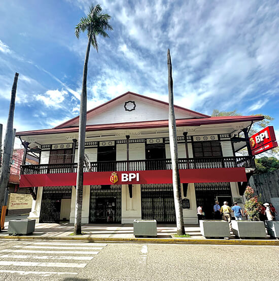
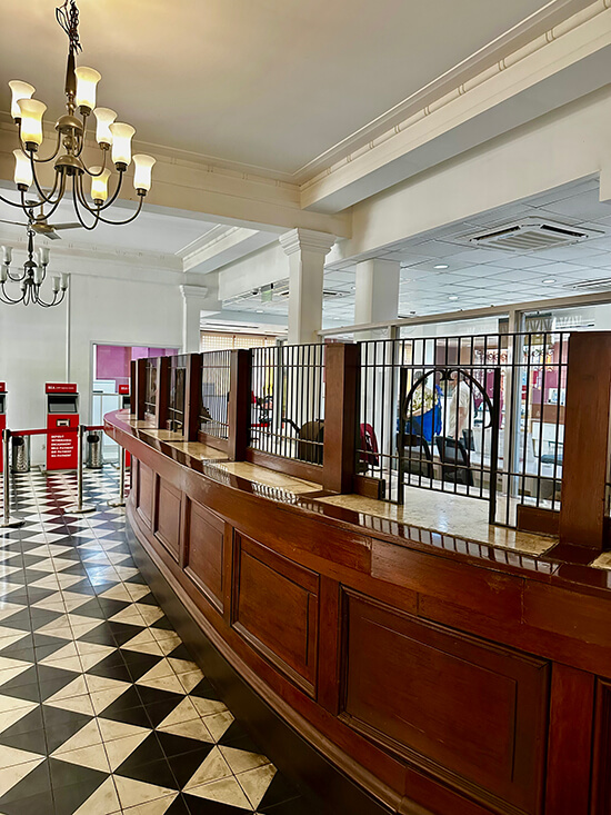
Bank of the Philippine Islands (BPI) Zamboanga Museum
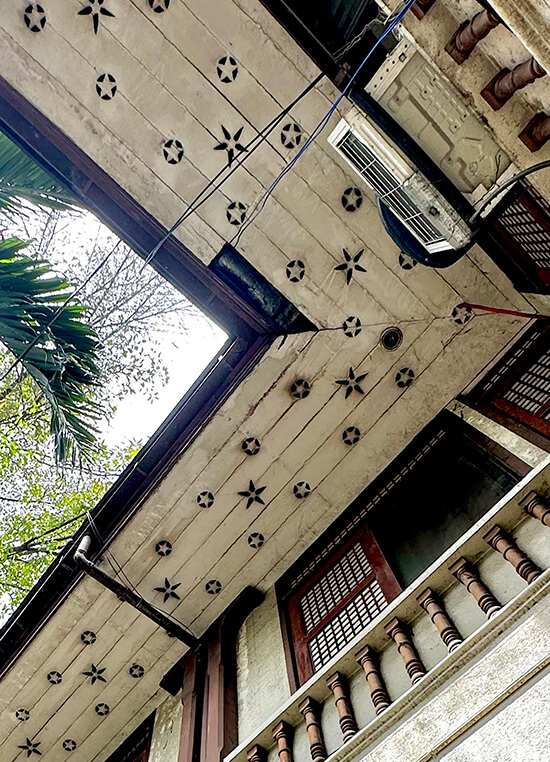
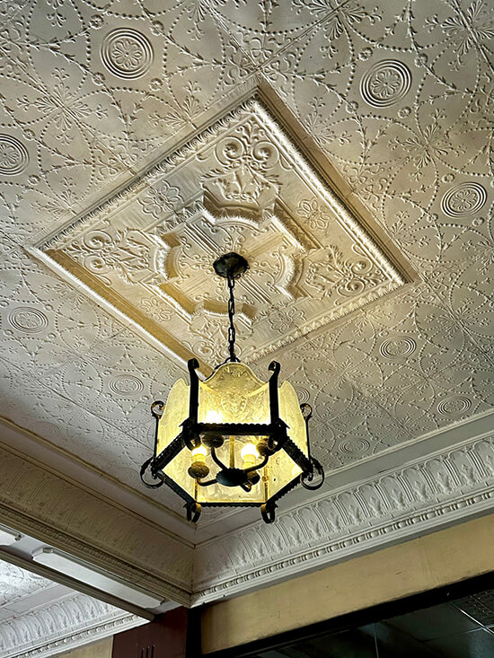
The BPI Zamboanga Museum is situated on the upper floor of an antique house that still functions as a bank branch. It was once occupied by the American military governor General Joseph “Blackjack” Pershing, who lived there with his wife and family from 1909 to 1913 before it was bought by BPI.
The house has a second-floor porch with stairs leading down to what once was the shoreline in earlier times. Now, the landing is a cemented parking area and the sea can just be glimpsed several meters away, with port construction activities going on alongside it. Kudos to the BPI Foundation for adaptively reusing this heritage structure, one of the few historic properties in the city.
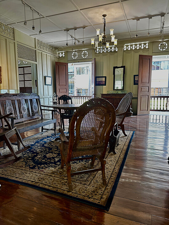
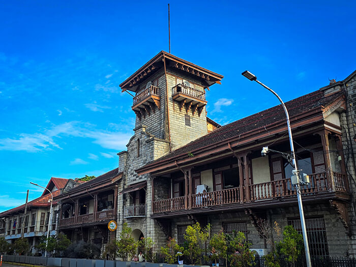
Zamboanga City Hall
Formerly known as the Provincial Building, the Zamboanga City Hall was constructed in 1907 for the American military governor of the Moro Republic. Built in the Mission Revival Style favored by the early government architects of the American colonial period, it has a tiled roof, a stone central tower with a curved pediment accent, overhanging wooden eaves and rafters, wrap-around balconies set upon a stone base, with sliding capiz windows providing the distinctive Philippine element. Impressive is the fact that the building remains relatively intact in its original form and is still in use as a government center almost 120 years later; another excellent example of adaptive reuse that preserves cultural and historical significance.
The Yakan Village
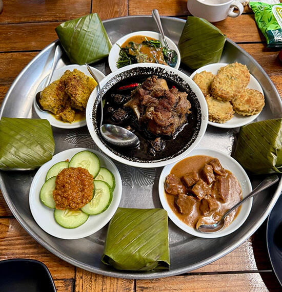
The Yakan Village in Zamboanga City was settled in the 1970s by Yakans escaping MNLF vs. Philippine military violence in the nearby island of Basilan, where they are the dominant ethnic group. It is a small, hilly compound filled with the shops and homes of Yakan weavers. Yakan weaving is characterized by a dash-type of weave, usually in vibrant colors. I chatted with an expert weaver who proudly told me she was already training her 14-year-old daughter in their weaving tradition. She had just finished a unique multi-colored length of cloth which was still attached to the loom. She agreed that I could purchase it, as long as I was willing to wait for her to cut off and finish the piece by knotting the raw fringes on both ends into tassels, which she efficiently and neatly accomplished within 10 minutes.

Zamboanga City struck me as a city on the cusp of numerous things—economic progress, a cultural flowering, a progressive educational scene. Despite its peace-and-order issues, there was the sense of positive transition in many areas, which I hope will be fulfilled, against the backdrop of its unique cultural heritage.
* * *
The Philippine Map Collectors Society (PHIMCOS), a non-stock, non-profit organization, is committed to disseminating its members’ enthusiasm for maps and prints, and to educating the public about the importance of cartography. Membership in the society is open to anyone interested in collecting, analyzing or appreciating historical maps, charts, prints, paintings, photographs, postcards, and books of the Philippines.
